

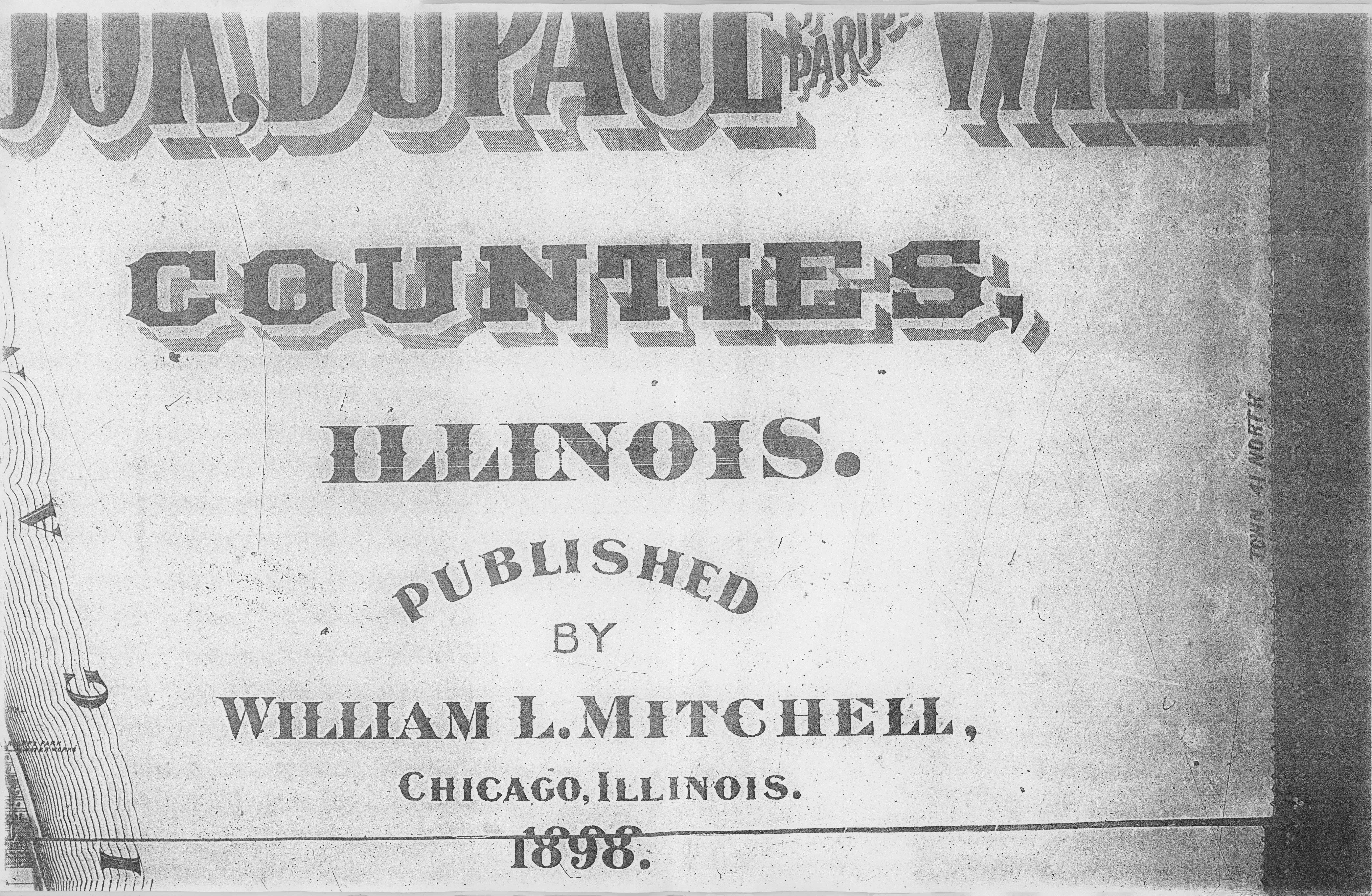
Plat Maps of Lyons, Lemont, Palos, and Worth Townships, 1898
- Title
- Plat Maps of Lyons, Lemont, Palos, and Worth Townships, 1898
- Description
- Partial plat maps, followed by individual maps of the 4 townships showing the borders of parcels of land, the legal owner and the number of acres owned.
- Spatial Coverage
- spatial Lyons Township
- spatial Lemont Township
- spatial Palos Township
- spatial Worth Township
- Subject
- Plat/Real Estate Map
- Date
- 1898
- Publisher
- William L. Mitchell
Part of Plat Maps of Lyons, Lemont, Palos, and Worth Townships, 1898